After our brief stay in Vancouver and a very busy weekend, we headed out into the mountains north of Vancouver for a few days. We packed the car and had left the house by 6.30am Monday morning to miss the Vancouver morning traffic. It was great to be out in Howe Sound heading north as the day woke up. We were headed through to the Joffre Lakes National Park area and would pass through the famous centers of Squamish (climbing and mountain biking) and Whistler (hiking, biking and skiing).
 |
And we thought Gaelic was hard to read on a street sign!
|
 |
| The Chief is a huge granite peak that looks over Squamish at the head of Howe Sound. |
Just before Pemberton, we went for a little walk to Nairn Falls to stretch our legs. It was amazing to see the fast flowing river and know that it is at its lowest flow of the year! It was a 1,5km walk up to the falls where the river flows through some big pot holes - many of which are connected under water and you only see churning and bubbling - not somewhere you want to find yourself in a small boat!
 |
| It was a lovely easy walk to the falls. |
 |
| The falls were flowing fast, despite this being the driest time of the year. We could only imagine how fast the river would flow in a couple of months time once the rains really started falling! |
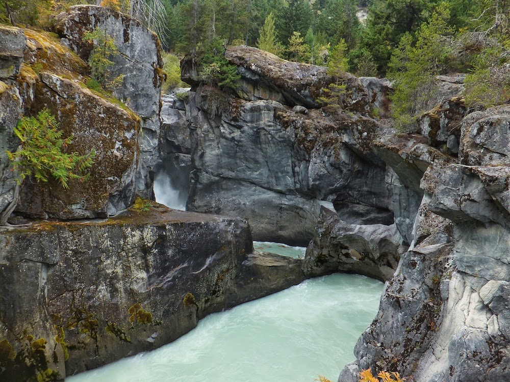 |
| At 'low flow' times like this, the river looks blocked by rock walls. |
 |
| The jade coloured water is wonderfully framed by the dark stone and imposing forest on either side. |
We picked up supplies for a few days in the mountains in Pemberton and headed north again to find the gravel pull off point at our trail head. We were originally going to head to Joffre Lakes to camp and to see the glacier there, but the weather window that we had was relatively short, so we headed on a bit further to hike up to Keith's Hut just below Anniversary Glacier. Liz and Bill had given us valuable information on finding the correct trail head - and a really good map to guide us. Joffre Lakes looked pretty busy when we drove past and the weather looked ominous. It was great to be in a hut in the rain with a toddler and not in a small tent!
 |
| The beautiful and large Lillooet Lake |
 |
| The trail starts with this little bridge over a quiet river. |
 |
| And then it headed up through beautiful autumn forest. |
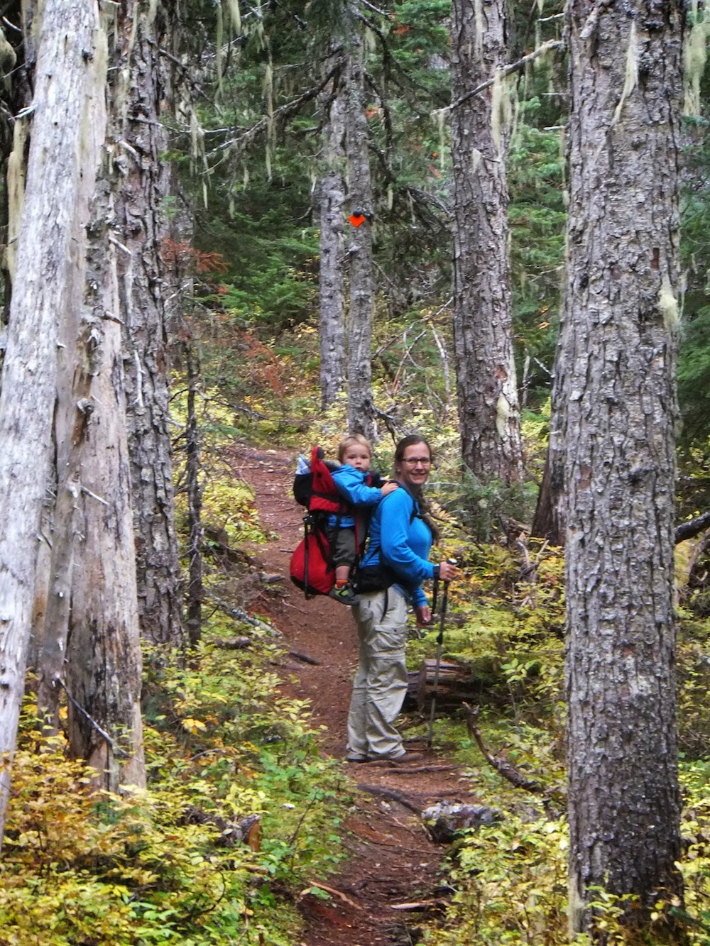 |
| Lucy carried the kids and Geoff carried the big pack. |
 |
| Further up the mountain the terrain got steeper and it was nice and cool in the forest. The blueberries and huckleberries were also out.... |
 |
| Beautiful views of snowy mountains and little streams. |
 |
| The autumn colours were really lovely! |
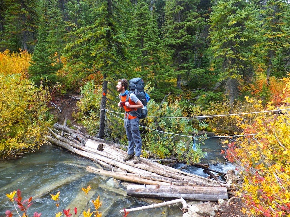 |
| A log bridge made this stream crossing pretty easy. (We'll come back to this stream further down.....) |
 |
| We could not get tired of this view! |
 |
Coming up to Keith's Hut and the Anniversary Glacier. The blueberry bushes were all in red autumn colors.
|
Keith's Hut was erected as a memorial to Keith Favelle by his family and friends. He was a mountaineer who died in 1986 while descending the east ridge of Mount Logan when he was 22. Mount Logan is the highest mountain in Canada and the second-highest peak in North America, after Mount McKinley (Denali). It is however extremely remote and is seen as one of the great mountaineering challenges of North America.
The hut is large and has a wood burning fire place, lovely stoep and solar lights! It is maintained by Keith's family and friends and each year they fly in firewood and do maintenance on the hut. Coincidentally the work party had been the weekend before we arrived. It sits on the edge of the tree line at about 5500 feet and in winter apparently the snow gets up to the eaves and visitors may have to dig down to get in to the hut. Geoff was here in February 2004 for a back country skiing trip with friends.
 |
| Keith's Hut (Image from Google as we didn't seem to take one!) |
 |
| Detail on the door of the hut. |
 |
| Anniversary Glacier in the background |
 |
| Two happy boys - one to be free of a heavy back pack and one to be free of the confines of a backpack! |
We'd arrived at the hut on Monday afternoon and went on to explore the glacial moraine just in front of the hut. It is amazing how tall and steep these get! Christopher loved playing in the gravel and fine dust of the moraine and once we were back on the mountainside he decided the best way to get rid of the pale grey powder coating that he had on him was to bum slide or front slide down the alpine vegetation till he was clean(ish)!
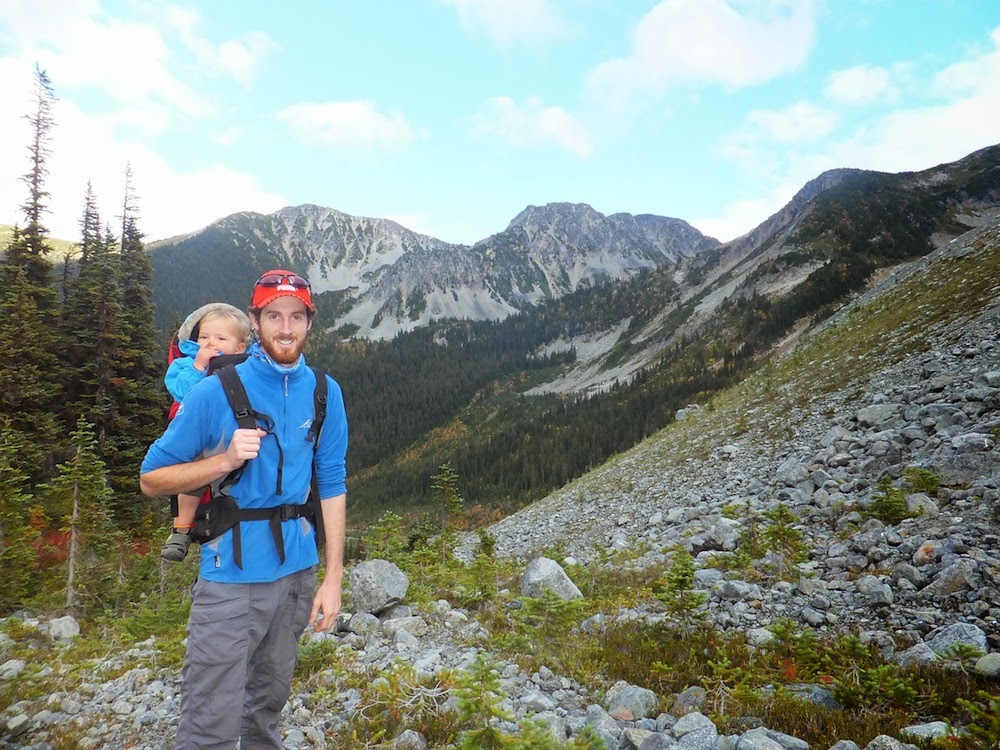 |
| Up the slightly vegetated outside of the moraine |
 |
| The contrast between the inside and outside of the moraine was distinct. |
 |
| Up where the trees end, its much easier to get a good view and boy, were they good! |
 |
| The landscape was totally foreign for Lucy. |
 |
| A happy boy in the dirt. |
 |
| The colours in the glacier are fantastic. |
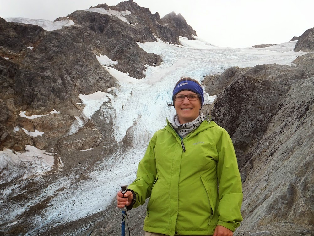 |
| It was spectacular being up close to the glacier. |
 |
| Heading back to the hut we walked through the meadow areas around the hut. |
 |
| The picturesque lake in front of the hut. |
Tuesday morning the cloud had started coming in and we had a spectacular sunrise while having tea on the stoep. Geoff and Christopher headed off to the saddle on the way to Vantage Peak to look over into the next valley and to try to follow the route that Geoff had taken 10 years earlier. Lucy enjoyed a morning of peace and quiet!
 |
| Sunrise |
 |
| Morning Tea |
 |
| The view from the stoep. |
 |
| Snow Spider Mountain is framed in the centre left of the image above. At the base of it is a second smaller hut that had been the second night of Geoff's backcountry trip. The Metier Glacier is visible on the right. It is spectacular but is receding at a rapid rate. By the time Christopher gets to come here again on his own steam it may all be gone! |
 |
| Twin One lake with Snowspider Mountain behind. |
 |
| Christopher bravely put up with his father despite some icy winds and deteriorating conditions. |
That afternoon the weather closed in and we were grateful to be in the relatively large hut. The hut is open to the public and while we were there 2 groups of students doing tertiary qualifications in 'Outdoor Guiding' (or something like that - skiing, hiking, rock climbing, kayaking, etc) together with their instructors were using the hut as a base and camping in tents in the surrounding meadows. Christopher did a good job at charming the students to play with him - a good change from his parents!
It was still raining fairly heavily on Wednesday morning so we kitted up and walked out anyway! Luckily the weather was warmish. Christopher was a star and didn't complain about the wet.
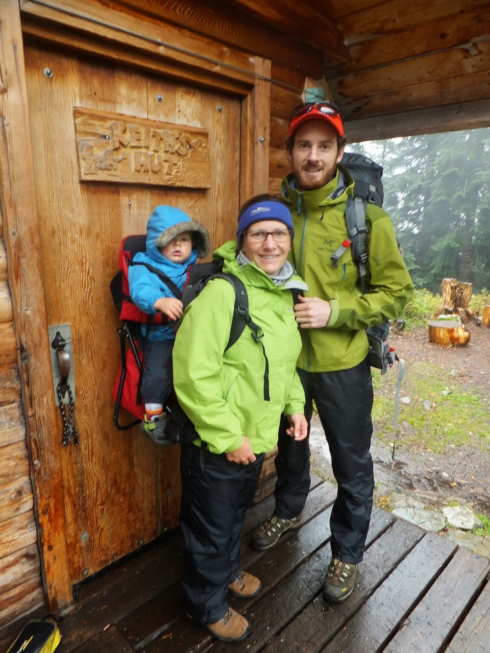 |
| All dressed up and ready to go! |
 |
| The little stream wasn't so little after all the rain that we'd had and the bridge was mostly washed away which made for a damp and rather exciting crossing!!! (Geoff fording the stream) |
We were glad to be able to strip off our wet things and have space in the van to sort our things out - thanks Dave and Gil! Then we headed north past the beautiful Duffey Lake and up the Kayoosh Canyon to Lillooet where we turned south down the mighty Fraser River. As we pulled back onto the highway, the weather started clearing and we had a beautiful drive on to Chilliwack.
 |
| Duffey Lake |
 |
| The 'plug hole' end of Duffey Lake. |
 |
| The road north |
 |
| As we reached Lillooet, the area got notably drier. |
We were surprised to find the Seton Lake as we approached Lillooet. Its turquoise water was striking and after such a harsh climate it was a wonder to see such a beautifully calm body of water. The dam serves as a source of water for the lock Hydro-power plant which services the area. We've copied the following blurb from a local signboard verbatim: "Nestled on the banks of the Fraser River and at the confluence of the Seton River and Cayoosh Creek, Lillooet is uniquely situated to be a biodiversity hotspot in BC. The Fraser River is the province's longest river. The deep valley, carved by its flow along its 1400km journey to the sea, serves as a major corridor for migratory birds and bats. The area surrounding Lillooet is indeed rugged - steep slopes climb quickly from the river valley."
 |
| The Seton Dam is part of a hydroelectric scheme in the Lillooet area. |
 |
| Massive screed slopes, on steep mountain sides pretty much guarantee that very little will grow on these mountains! |
 |
| There's no 'tide' in this hydro dam! Note the railway line, literally a meter above the water level. |
 |
| Driving along the Fraser River heading south |
 |
| The Alexandra Bridge over the Fraser River is an engineering marvel. It enabled road traffic along a very challenging section of the Fraser River. Currently there is now a highway and two railway lines that run up the valley which was at one stage a vital economic link between the Lowland around Vancouver and the Interior. |
 |
| The Fraser River Valley |


